About Submarine Cable Route Surveys
The main purpose of the submarine cable route survey is to help determine the ideal cable laying route. OEC provides a series of technical services to clients starting from the collection of related data on natural conditions and on human activities around the planned route (Desk-Top Study) to actual on-site surveys. On-site surveys consist of land site surveys, inshore surveys by small boat and offshore surveys by large vessels.
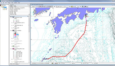
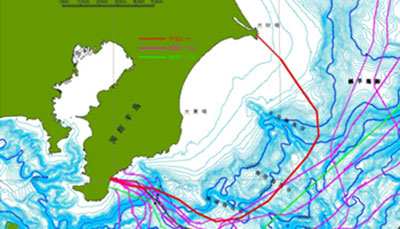
During inshore and offshore surveys, a variety of marine data such as hydrographic data, seafloor imaging, sub-bottom profiling and magnetic data are obtained and analyzed. Generally, within 24 hours after data collection, we are able to print updated charts and then propose an appropriately revised submarine cable route.
Making use of OEC’s accumulated knowledge and expertise we endeavor to offer the ideal submarine route to our clients.
DTS (Desk-Top Study)
DTS is conducted at the beginning stage to design the suitable survey route while collecting and gathering the necessary data in and around the planned lands and waters. The natural condition such as hydrographic, geophysical, geological oceanography and meteorology information together with human activities such as fishing, shipping, military and pre-existing cables. As data are analyzed, the planning cable route is determined for the site surveys.
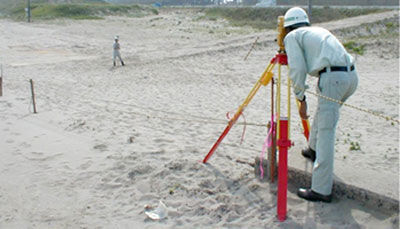
Land Site Survey
At the landing site including the shoreline, the cable routes and their surrounding topography and constructions are precisely surveyed by GNSS, total station and leveling instrument.
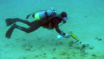
Diver Swim Survey
Diver swim survey along the route in very shallow waters is carried out to verify the seabed condition by optical visual instruments, i.e., video and camera. The seabed material and sediment thickness on the route are also investigated. The pre-existing cables are identified by divers using magnetometers
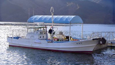
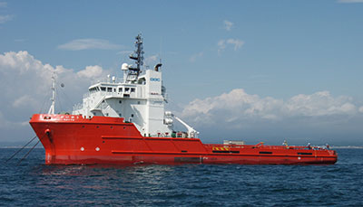
Inshore and Offshore Surveys
Generally, the inshore survey by small boat and the offshore survey by large vessel are carried out in parallel. The survey contents are as follows:
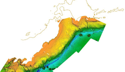
- Bathymetric survey by Multi-beam Echosounder
- Seafloor Imaging by Side-Scan Sonar
- Sub-bottom Imaging by Sub-bottom Profiler
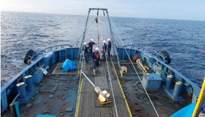
- Seabed sampling by corer or/and grab sampler(s)
Other investigations such as water current measurement and magnetic survey for pre-existing cables are performed as well.
Data Analysis
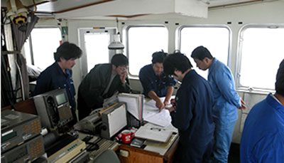
Acquired data are analyzed on board day by day to provide the chart such as bathymetric chart, seabed feature chart and geological chart to the client representative on board for the discussion and proposal of the most ideal route.